Navigating fish highways in North Queensland
Fish migration can be likened to a bustling highway, where thousands of fish journey to access new habitat, breed and seek out vital places for their survival. Across Australia, this aquatic thoroughfare faces numerous roadblocks in the form of physical barriers, hindering the natural flow of fish to get to their destination.
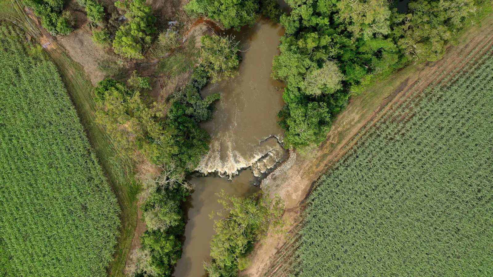
These barriers diminish available habitats and exacerbate pressures on fish populations. Barriers to fish passage can be large structures such as dams and weirs, but can be as small as road crossings, culverts and pipes for stormwater drainage. They fragment waterways and impede a fish’s natural ability to pass through.
Some fish migrate strictly within freshwater; however, many need to migrate between both freshwater and saltwater habitats. An example of well-known fish species in north Queensland that migrate between freshwater and saltwater as part of their lifecycle are barramundi, mangrove jack, tarpon and jungle perch. There are also many smaller species that underpin the food chain, including many of the gobies and gudgeons, that need to undertake similar migrations between water types.
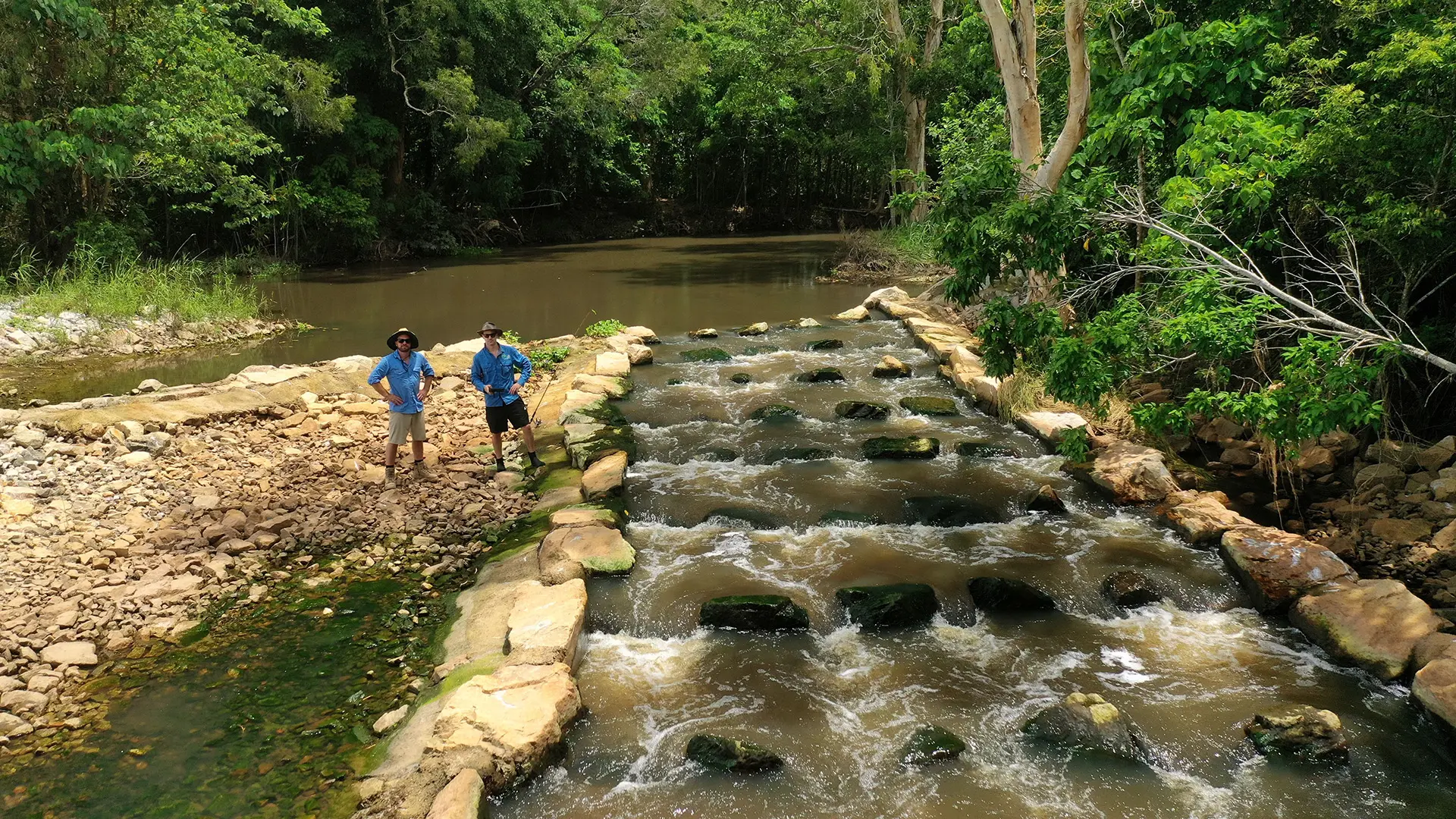
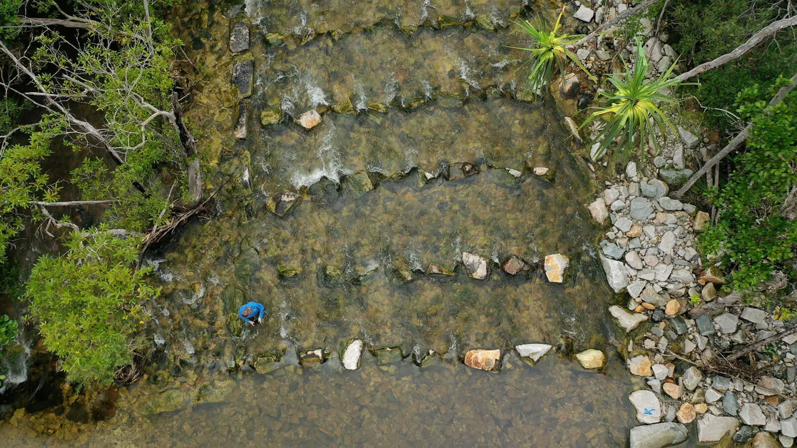
In an ideal world, we would simply remove the barriers to fish passage, restoring the movement and distribution of the waterway back to its original state. This is rarely a realistic option, however, as most of the physical structures contributing to the issue are important for transport, water storage and municipal stormwater conveyance. Fishways are an effective solution as they retain the function of essential infrastructure while also providing passage for fish. They come in all shapes and sizes, with their design dependent on the location and height of the barrier.
Dr Geoff Collins, OzFish Senior Project Manager, and his team complete monitoring work in north Queensland fishways each wet season. Monitoring is done to determine whether a fishway is functioning as intended, and assessments include a range of factors, such as the number of species passing through, the size of fish, water quality and water velocity.
“We have monitored thousands of fish moving through these structures over the past few years, and these are fish that, were it not for the construction of a fishway, would not have been able to access the habitat upstream of the infrastructure.
“The results demonstrate the importance of providing fish with migration corridors and increasing the total amount of habitat available to them,” said Geoff.
“It’s as essential to their survival as snags are to Murray cod or how important seagrass is to junieville snapper.
This wet season, from February to May, the OzFish north Queensland team are working with project partners Terrain NRM, Catchment Solutions, Lower Burdekin Water and NQ Dry Tropics to continue monitoring fishways in the lower Herbert, Cardwell and Burdekin areas. They expect again to see thousands of fish migrating to habitats that were previously inaccessible to them thanks to the installation of these fishways.
This story was adapted from ‘Fishway monitoring in north QLD,’ an article written by GM Collins.
Head to the North Queensland Fish Surveys project page to find out more.
