How to complete a water condition assessment
This video will demonstrate how to establish the general condition of a site by taking you through the steps to determine the type and condition of our waterway’s riverbanks and aquatic habitat and help you to identify the impact human activity is having on our site. This educational video is a demonstration guide only and should always be conducted in consultation with an OzFish Project Officer/Manager.
How to set up habitat monitoring photo-points
This video helps you know how to set up a photo-point monitoring site. Photo-point monitoring uses a series of images taken over a period of time to show us how our natural environment changes. This allows us to detect any loss or degradation of habitat occurring, or how the restoration work OzFish is performing is helping to improve our waterways. This video will show you how to set up a photo-point marker, and how to ensure we capture images of the exact same subject year after year, so any change be it small or great can easily be detected. Use this video in conjunction with the below photo-point datasheet to capture information. **This educational video is a demonstration guide only and should always be conducted in consultation with an OzFish Project Officer/Manager.
*Use one sheet per photo-point, set up as many photo-points for your site as needed, at least 3 is recommended.
Riparian health accessment
Riparian zones, riparian areas, and riparian lands are all the same thing. They are the areas next to a waterway. For example, the land alongside creeks, streams, gullies, rivers and wetlands. The word riparian comes from the Latin word ripa which means riverbank. These areas play a vital role in protecting our waterways by stabilising riverbanks, trapping and filtering out pollution and rubbish from surrounding land, as well as providing shade, shelter, and feeding and breeding grounds for both our terrestrial and aquatic life! This video will show us a method of evaluating the current ability of our waterways riparian zone to perform these important roles. This educational video is a demonstration guide only and should always be conducted in consultation with an OzFish Project Officer/Manager.
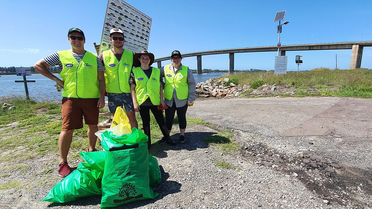
Litter / Debris
OzFish partners with and recommends Tangaroa Blue Foundation’s Australian Marine Debris Initiative data collection methods for all clean ups from clean-up days, tangle bins and rig recycle boxes. Their training tools and database look after all of our fisher-science needs for litter and debris.
Find out how here: AMDI How to Videos & Manual – Tangaroa Blue
For more information on hosting a clean-up day, tangle bin or rig recycle box, click here: Ozfish Look After Your Tackle Project – OzFish Unlimited
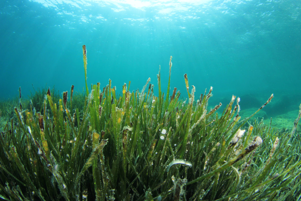
Mangrove / Seagrass / Saltmarsh health
OzFish recommends the following tools for monitoring mangrove, seagrass and saltmarsh health:
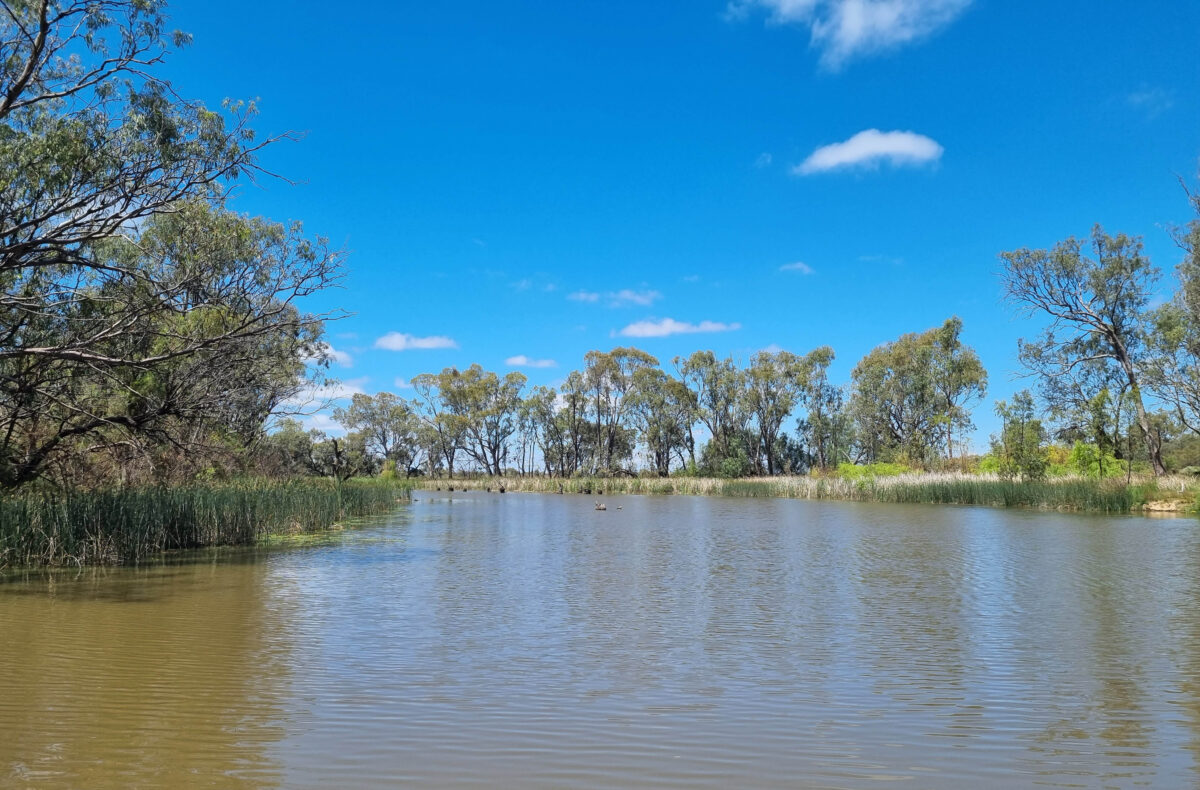
Freshwater Wetland Health
OzFish recommends the following tools for monitoring freshwater lake, swamp and stream health:
These resources are made possible with the support of