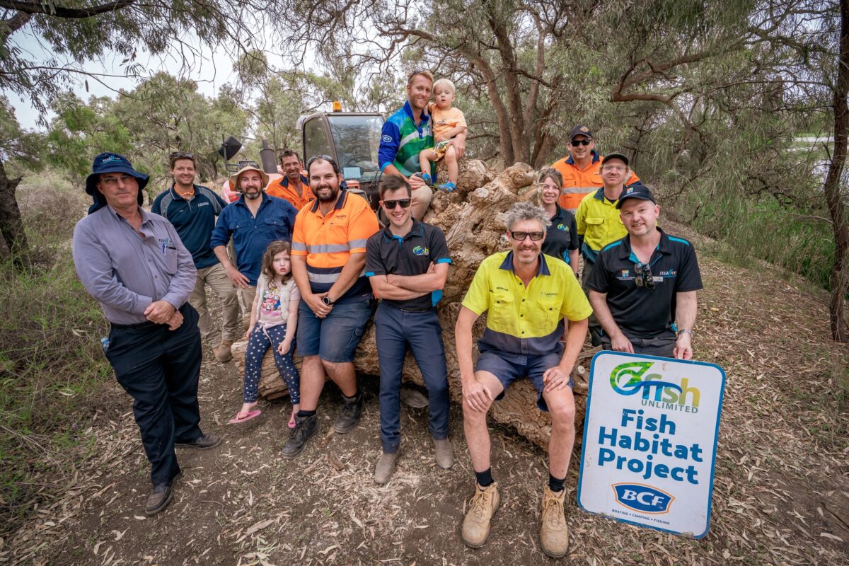
Sunraysia OzFish volunteers used modernized fishing sounders (side and down imagery) to map all fish habitat structures in Butlers Creek. While undertaking the habitat mapping, the Sunraysia OzFish members also considered where a potential designated fishing zone could be established for recreational anglers.
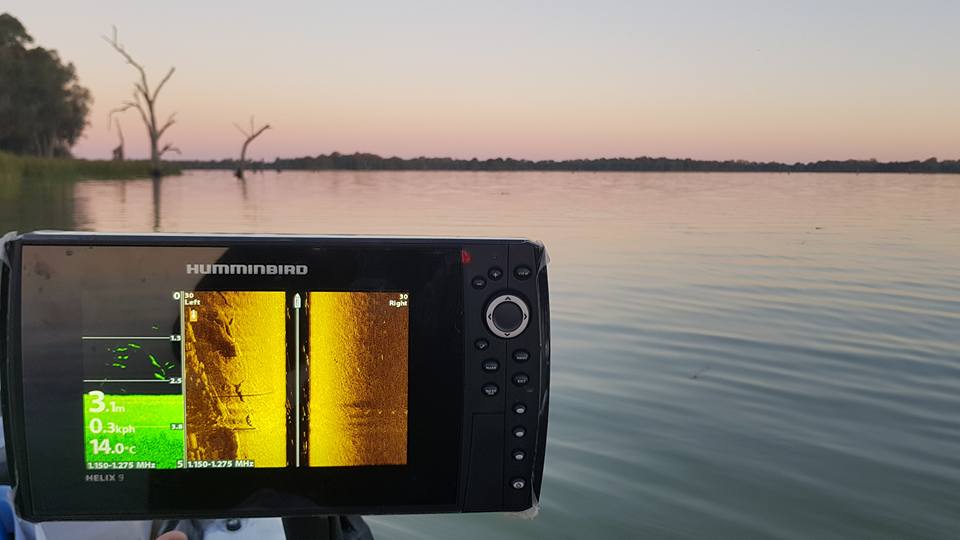
Modernized fishing sounders (side and down imagery) sonar is an efficient technique to undertake habitat mapping, as it can produce high-quality imagery at low cost. The sonar imaging technology creates an image of the floor of waterways and allows the user to see the submerged woody habitat or lack of. The sonar imaging also shows other habitat that is on the river floor, which includes vegetation, texture of the riverbed and other debris.